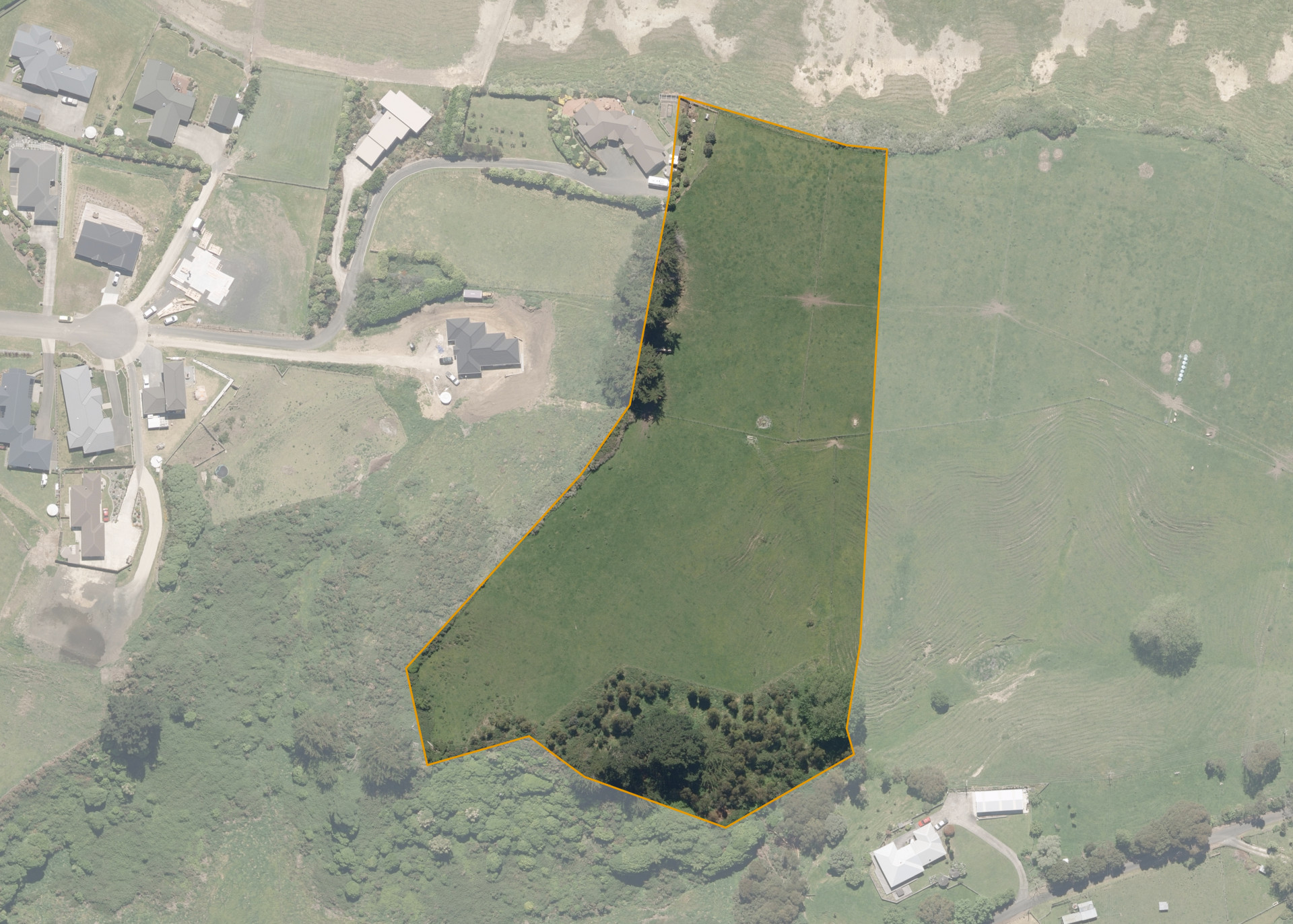
Te Riri A Te Hore 6
Te Riri A Te Hore 6 is a 2.2004 hectare property situated at the end of Hewitts Road, approximately 5 kilometres from Whanganui. The land is flat and easy to medium steep hill in contour. Soils on the property comprise of Marton clay loam on top terrace with Whangaehu hill soils on the hill sidlings. The block is landlocked and is currently accessed via adjoining land.
The effective area, approximately 2.0 hectares, was utilised for sheep and beef farming. The balance of the land can be attributed to the retired area that is planted in Blue Gums.
Land Information
- Land area:
- 2.2005 hectares
- Location:
- Hewitts Road, Marybank
- Region:
- Manawatu / Whanganui
- Māori Land Court region:
- Aotea
- Role of Māori Trustee for this whenua:
- Responsible Trustee
Learn more about the role of the Māori Trustee.
Owner Information
There are 42 people or whānau trusts who have shares in Te Riri A Te Hore 6.
Find individual owners or whānau trusts for this whenua
Tip: Search by first name
If you have a question about this whenua or you want to update your details please contact us.
Find out about upcoming owner hui for this whenuaStay connected with My Whenua
My Whenua is our online service for owners, trustees, whānau and those with a connection to whenua we look after on their behalf.
It’s a way to stay up to date with information about your whenua, including:
- Maps and photos
- Owner reports
- A list of owners
- Minutes of owner hui, and more.