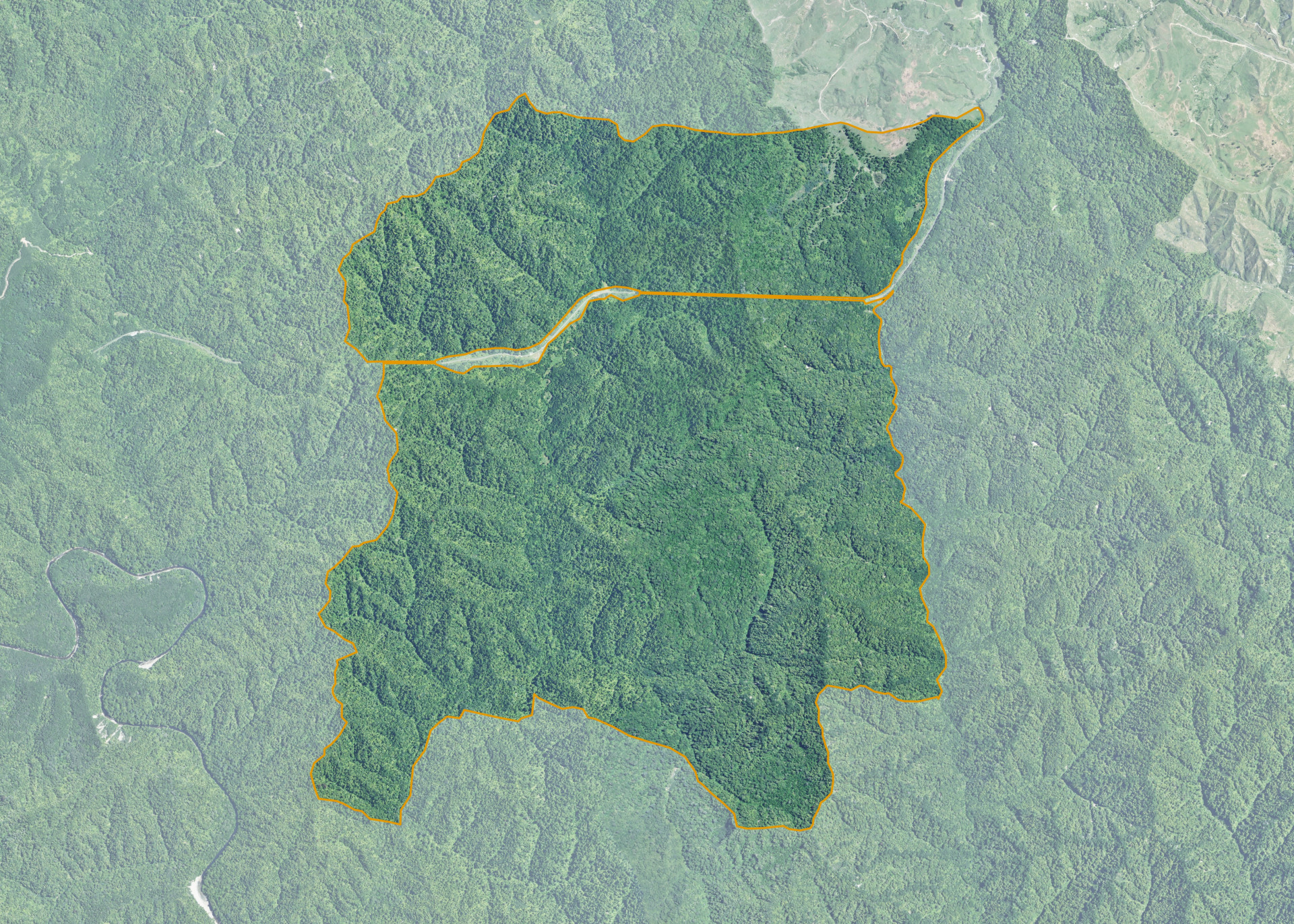
Maraekowhai A5G2
Maraekowhai A5G2 is a 918.0191 hectare property situated approximately 3.5 kilometres south of State Highway 43, Tangarakau. The land is predominantly steep hill in contour and is dissected by the Stratford-Okahukura railway line. The block is landlocked.
The land was placed under a Nga Whenua Rahui Covenant in October 2003 for conservation purposes.
Land Information
- Land area:
- 918.0191 hectares
- Location:
- State Highway 43
- Region:
- Taranaki
- Māori Land Court region:
- Aotea
- Role of Māori Trustee for this whenua:
- Responsible Trustee
Learn more about the role of the Māori Trustee.
Owner Information
There are 47 people or whānau trusts who have shares in Maraekowhai A5G2.
Find individual owners or whānau trusts for this whenua
Tip: Search by first name
If you have a question about this whenua or you want to update your details please contact us.
Find out about upcoming owner hui for this whenuaStay connected with My Whenua
My Whenua is our online service for owners, trustees, whānau and those with a connection to whenua we look after on their behalf.
It’s a way to stay up to date with information about your whenua, including:
- Maps and photos
- Owner reports
- A list of owners
- Minutes of owner hui, and more.