Taupiri 474B4B2B
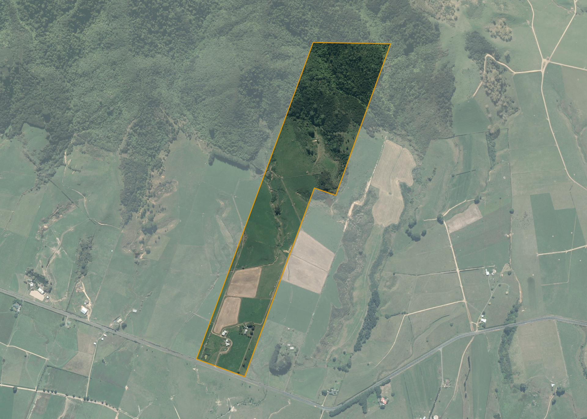
Taupiri 474B4B2B is a 33.6496 hectare property situated on Tahuna Road, approximately 12 kilometres east of Tahuna. The land ranges from flat to steep hill in contour. The block can be accessed from Tahuna Road.
The effective area, approximately 24 hectares, is currently utilised for cattle grazing in conjunction with adjoining land. The balance of the land can be attributed to regenerating native bush.
There is an implement shed, pump shed, four-bay half-round barn, a set of cattle yards and a disused cowshed on the property. The dwelling on the block is excluded from the lease.
Land Information
- Land area:
- 33.6496 hectares
- Location:
- Tahuna Road, Ohinewai
- Region:
- Waikato
- Māori Land Court region:
- Waikato Maniapoto
- Role of Māori Trustee for this whenua:
- Responsible Trustee
Learn more about the role of the Māori Trustee.
Owner Information
There are 71 people or whānau trusts who have shares in Taupiri 474B4B2B.
Find individual owners or whānau trusts for this whenua
Tip: Search by first name
If you have a question about this whenua or you want to update your details please contact us.
Find out about upcoming owner hui for this whenuaStay connected with My Whenua
My Whenua is our online service for owners, trustees, whānau and those with a connection to whenua we look after on their behalf.
It’s a way to stay up to date with information about your whenua, including:
- Maps and photos
- Owner reports
- A list of owners
- Minutes of owner hui, and more.