Whaiti Kuranui 2D2D
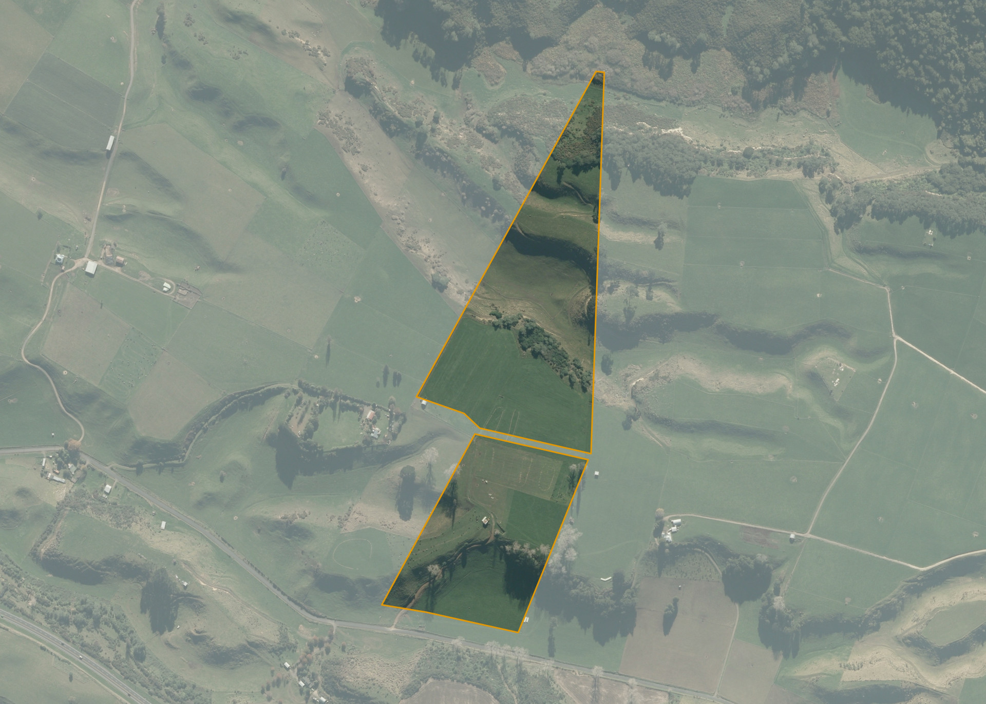
Whaiti Kuranui 2D2D is an 18.4789 hectare property situated on Tapapa Road, approximately 11 kilometres from Putaruru. The land is predominantly flat to easy hill in contour and is cut by steep-sided gullies at the rear. The block can be accessed at Tapapa Road off State Highway 5.
The effective area, approximately 16.5 hectares, is currently utilised for dairy support in conjunction with adjoining land. The balance of the land can be attributed to the gully at the rear and steep bush and scrub.
There is a half-round barn, a pump shed, a set of cattle yards and an old shed on the property.
Land Information
- Land area:
- 18.4789 hectares
- Location:
- Tapapa Road, State Highway 5
- Region:
- Waikato
- Māori Land Court region:
- Waiariki
- Role of Māori Trustee for this whenua:
- Responsible Trustee
Learn more about the role of the Māori Trustee.
Owner Information
There are 16 people or whānau trusts who have shares in Whaiti Kuranui 2D2D.
Find individual owners or whānau trusts for this whenua
Tip: Search by first name
If you have a question about this whenua or you want to update your details please contact us.
Find out about upcoming owner hui for this whenuaStay connected with My Whenua
My Whenua is our online service for owners, trustees, whānau and those with a connection to whenua we look after on their behalf.
It’s a way to stay up to date with information about your whenua, including:
- Maps and photos
- Owner reports
- A list of owners
- Minutes of owner hui, and more.