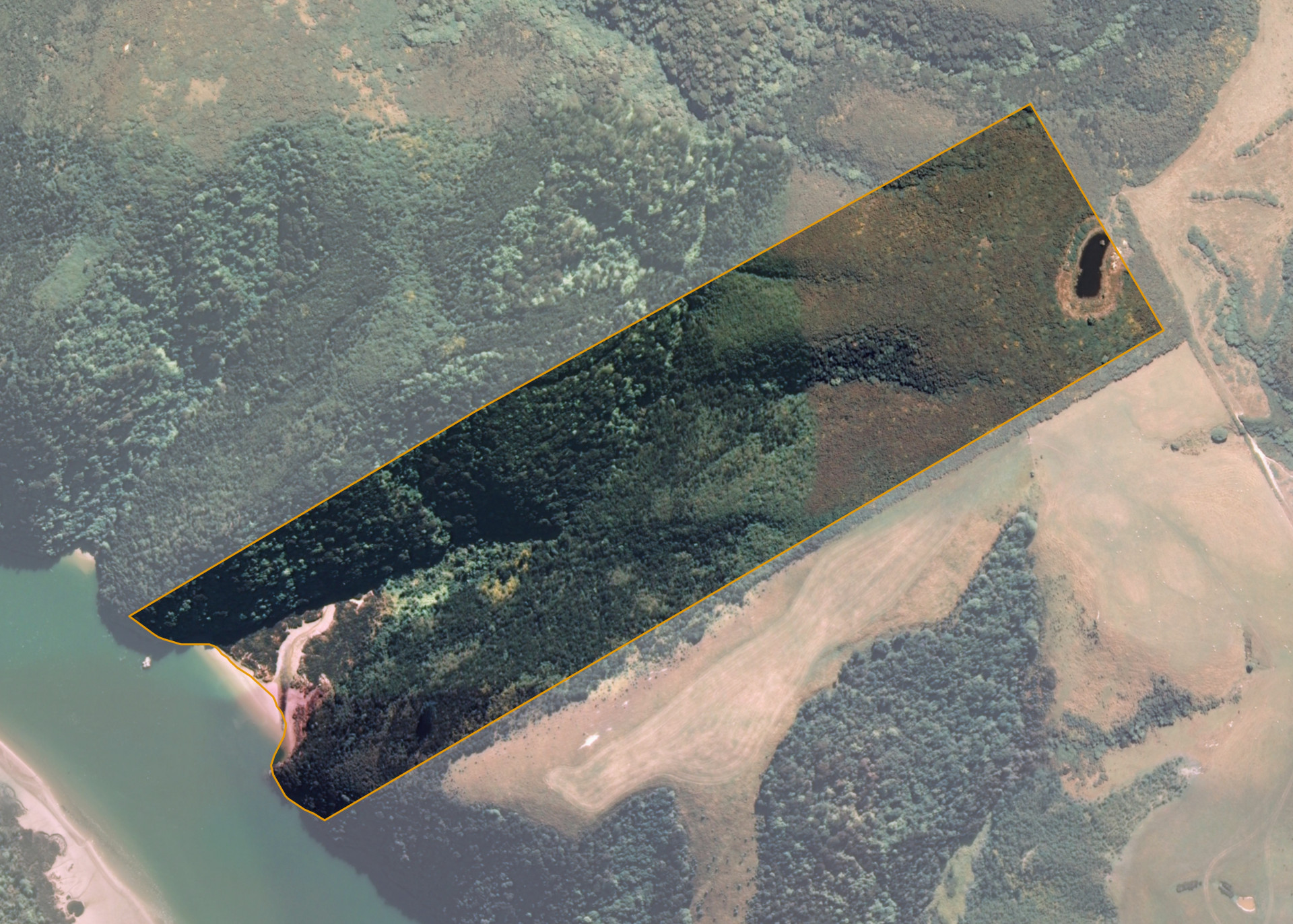
Taieri Blk C Sub 1D
Taieri Blk C Sub 1D is a 16.5188 hectare property situated approximately 1.5 kilometres west of Otokia-Kuri Bush Road East, Dunedin. The land is predominantly rolling to strongly rolling hill in contour and adjoins the Waipori River on its western boundary. The block can be accessed via adjoining land.
The block is currently leased in two parts.
The Department of Conservation lease approximately 4.8 hectares of the land and it is utilised as a scenic reserve. The balance of the block is leased separately for grazing purposes.
Land Information
- Land area:
- 16.5188 hectares
- Location:
- At Taieri River Mouth, Taieri
- Region:
- Otago
- Māori Land Court region:
- Te Waipounamu
- Role of Māori Trustee for this whenua:
- Responsible Trustee
Learn more about the role of the Māori Trustee.
Owner Information
There are 131 people or whānau trusts who have shares in Taieri Blk C Sub 1D.
Find individual owners or whānau trusts for this whenua
Tip: Search by first name
If you have a question about this whenua or you want to update your details please contact us.
Find out about upcoming owner hui for this whenuaStay connected with My Whenua
My Whenua is our online service for owners, trustees, whānau and those with a connection to whenua we look after on their behalf.
It’s a way to stay up to date with information about your whenua, including:
- Maps and photos
- Owner reports
- A list of owners
- Minutes of owner hui, and more.