Taumarunui Mt D2
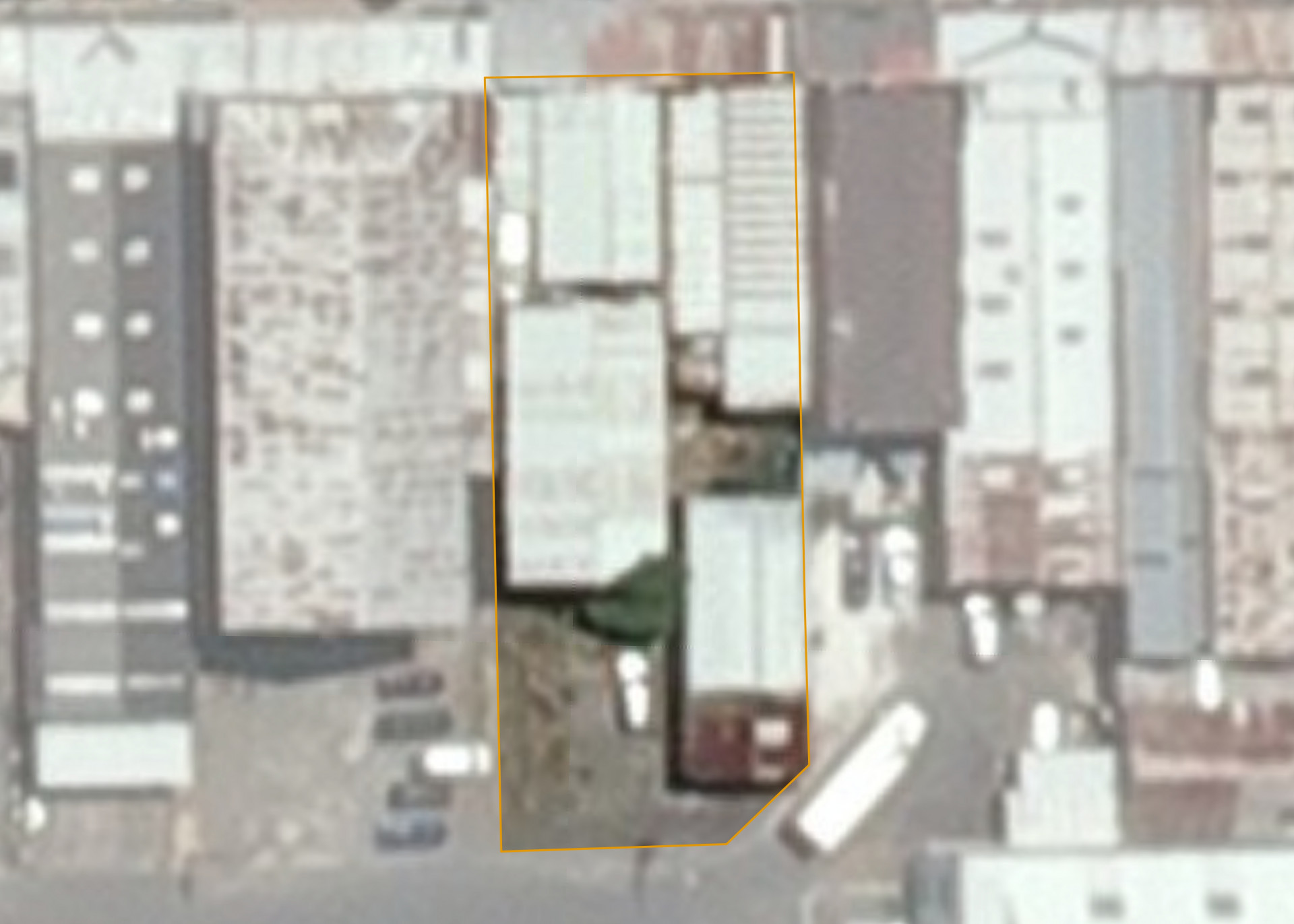
Taumarunui Mt D2 is a 0.0999 hectare property located on Hakiaha Street in Taumarunui. The property is located on the main street of Taumarunui, in the main shopping area.
Taumarunui was originally a Maori settlement at the confluence of the Ongarue River with the Whanganui River, important canoe routes linking the interior of the island with the lower Whanganui River settlements.
The property comprises three ground level shops with main-street frontage. There is a large storage area at the back of the building. The building's interior and exterior was noted to be in a tidy and maintained condition in March 2017.
The Ruapehu Council has identified the building as potentially earthquake prone, classifying it as Category A and/or C.
Land Information
- Land area:
- 0.0999 hectares
- Location:
- Hakiaha Street, Taumarunui
- Region:
- Manawatu / Whanganui
- Māori Land Court region:
- Aotea
- Role of Māori Trustee for this whenua:
- Responsible Trustee
Learn more about the role of the Māori Trustee.
Owner Information
There are 29 people or whānau trusts who have shares in Taumarunui Mt D2.
Find individual owners or whānau trusts for this whenua
Tip: Search by first name
If you have a question about this whenua or you want to update your details please contact us.
Find out about upcoming owner hui for this whenuaStay connected with My Whenua
My Whenua is our online service for owners, trustees, whānau and those with a connection to whenua we look after on their behalf.
It’s a way to stay up to date with information about your whenua, including:
- Maps and photos
- Owner reports
- A list of owners
- Minutes of owner hui, and more.