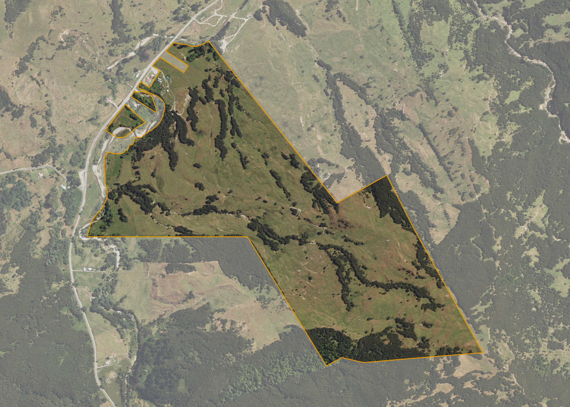
Totaranui A1D2B2B
Totaranui A1D2B2B is a 126.7413 hectare property situated on Waiapu Road, approximately 10 kilometres south-west of Ruatoria. The land ranges from flat to steep hill in contour. The block can be accessed from the road.
The effective area, approximately 113 hectares, is currently utilised for cattle grazing. The balance of the land can be attributed to scrub, bush and the house and buildings that are excluded from the lease.
There is a cottage, garage, two-stand woolshed and a Nissen style hay barn on the property.
The house is currently occupied.
Land Information
- Land area:
- 126.7413 hectares
- Location:
- SH 35, Ruatoria
- Region:
- Gisborne
- Māori Land Court region:
- Tairawhiti
- Role of Māori Trustee for this whenua:
- Agent
Learn more about the role of the Māori Trustee.
Owner Information
There are 361 people or whānau trusts who have shares in Totaranui A1D2B2B.
Find individual owners or whānau trusts for this whenua
Tip: Search by first name
If you have a question about this whenua or you want to update your details please contact us.
Find out about upcoming owner hui for this whenuaStay connected with My Whenua
My Whenua is our online service for owners, trustees, whānau and those with a connection to whenua we look after on their behalf.
It’s a way to stay up to date with information about your whenua, including:
- Maps and photos
- Owner reports
- A list of owners
- Minutes of owner hui, and more.