Pukenui B49
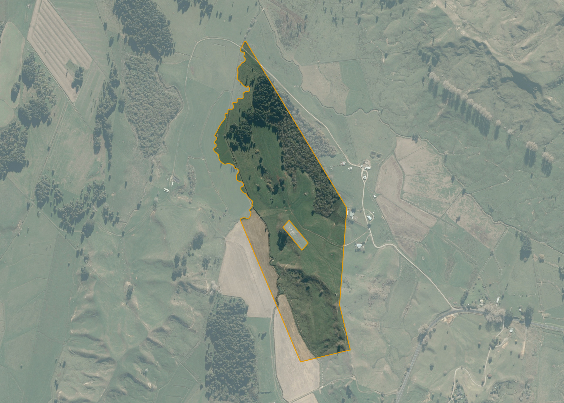
Pukenui B49 is a 31.22 hectare property situated on State Highway 3, approximately 5 kilometres from Te Kuiti. The land has a mixed contour but is predominantly undulating to easy hill, with some flat contour, and some medium to steep hill sidling.
The block has no legal access but can be accessed via a formed all-weather track leading off State Highway 3.
The effective area, approximately 25.0 hectares, is currently utilised for dairy support and maize production. The balance of the land can be attributed to areas of swamp.
There is an urupa situated in the middle of the property.
Land Information
- Land area:
- 31.223 hectares
- Location:
- State Highway 3, Te Kuiti
- Region:
- Waikato
- Māori Land Court region:
- Waikato Maniapoto
- Role of Māori Trustee for this whenua:
- Responsible Trustee
Learn more about the role of the Māori Trustee.
Owner Information
There are 51 people or whānau trusts who have shares in Pukenui B49.
Find individual owners or whānau trusts for this whenua
Tip: Search by first name
If you have a question about this whenua or you want to update your details please contact us.
Find out about upcoming owner hui for this whenuaStay connected with My Whenua
My Whenua is our online service for owners, trustees, whānau and those with a connection to whenua we look after on their behalf.
It’s a way to stay up to date with information about your whenua, including:
- Maps and photos
- Owner reports
- A list of owners
- Minutes of owner hui, and more.