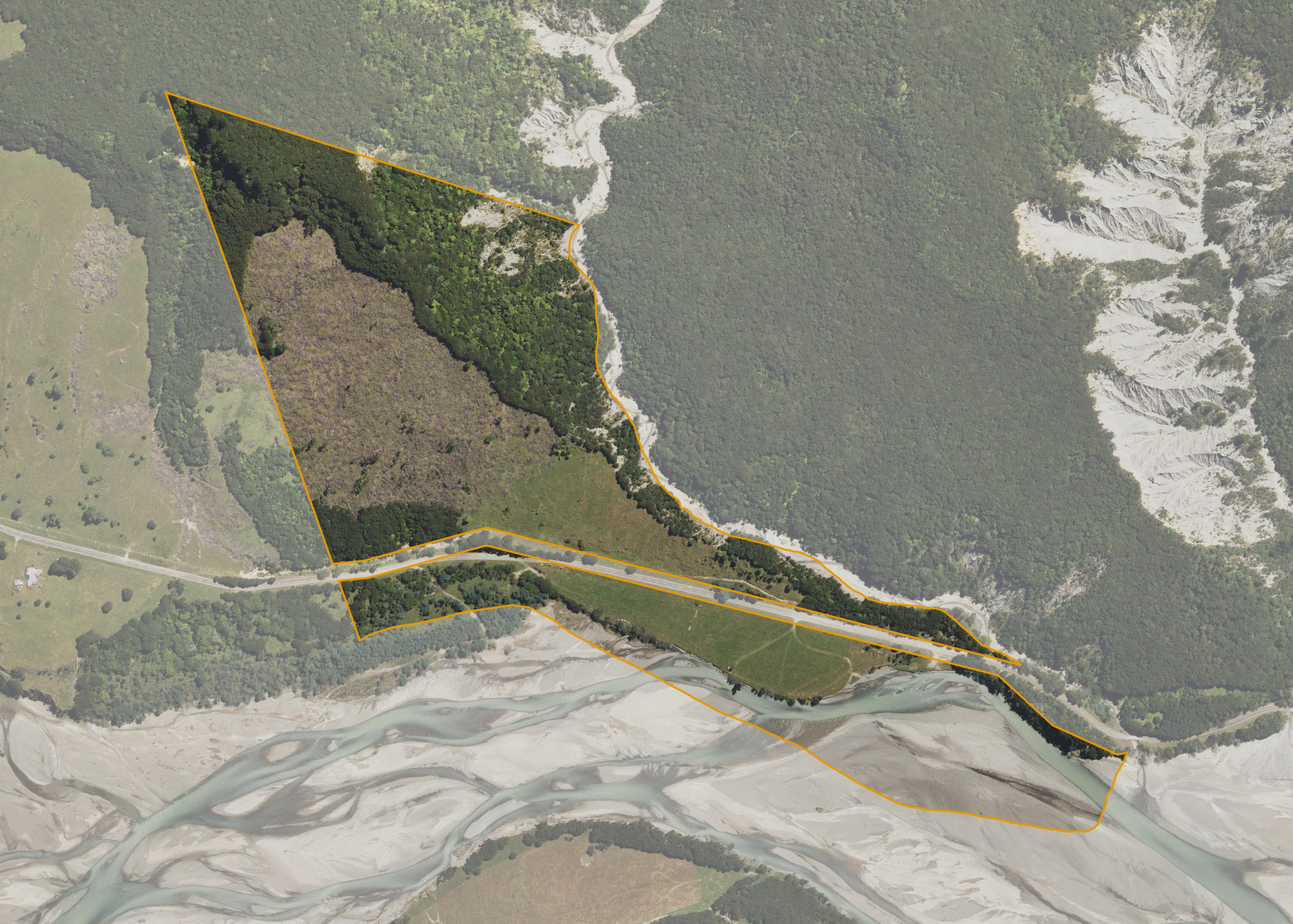
Mangawhariki 3A
Mangawhariki 3A is a 30.8 hectare property situated on both sides of Tapuaeroa Road, some 17km east from Ruatoria and access is gained from Tapuaeroa Road.
The block is predominantly flat to steep contoured hill.
Mangawhariki 3A is utilised for grazing purposes.
A Wahi Tapu site is noted on the Gisborne District Council planning map which is situated near the north western corner.
Land Information
- Land area:
- 31.5249 hectares
- Location:
- Tapuaeroa Road, Ruatoria
- Region:
- Gisborne
- Māori Land Court region:
- Tairawhiti
- Role of Māori Trustee for this whenua:
- Other
Learn more about the role of the Māori Trustee.
Owner Information
There are 148 people or whānau trusts who have shares in Mangawhariki 3A.
Find individual owners or whānau trusts for this whenua
Tip: Search by first name
If you have a question about this whenua or you want to update your details please contact us.
Find out about upcoming owner hui for this whenuaStay connected with My Whenua
My Whenua is our online service for owners, trustees, whānau and those with a connection to whenua we look after on their behalf.
It’s a way to stay up to date with information about your whenua, including:
- Maps and photos
- Owner reports
- A list of owners
- Minutes of owner hui, and more.