Papatarata A2
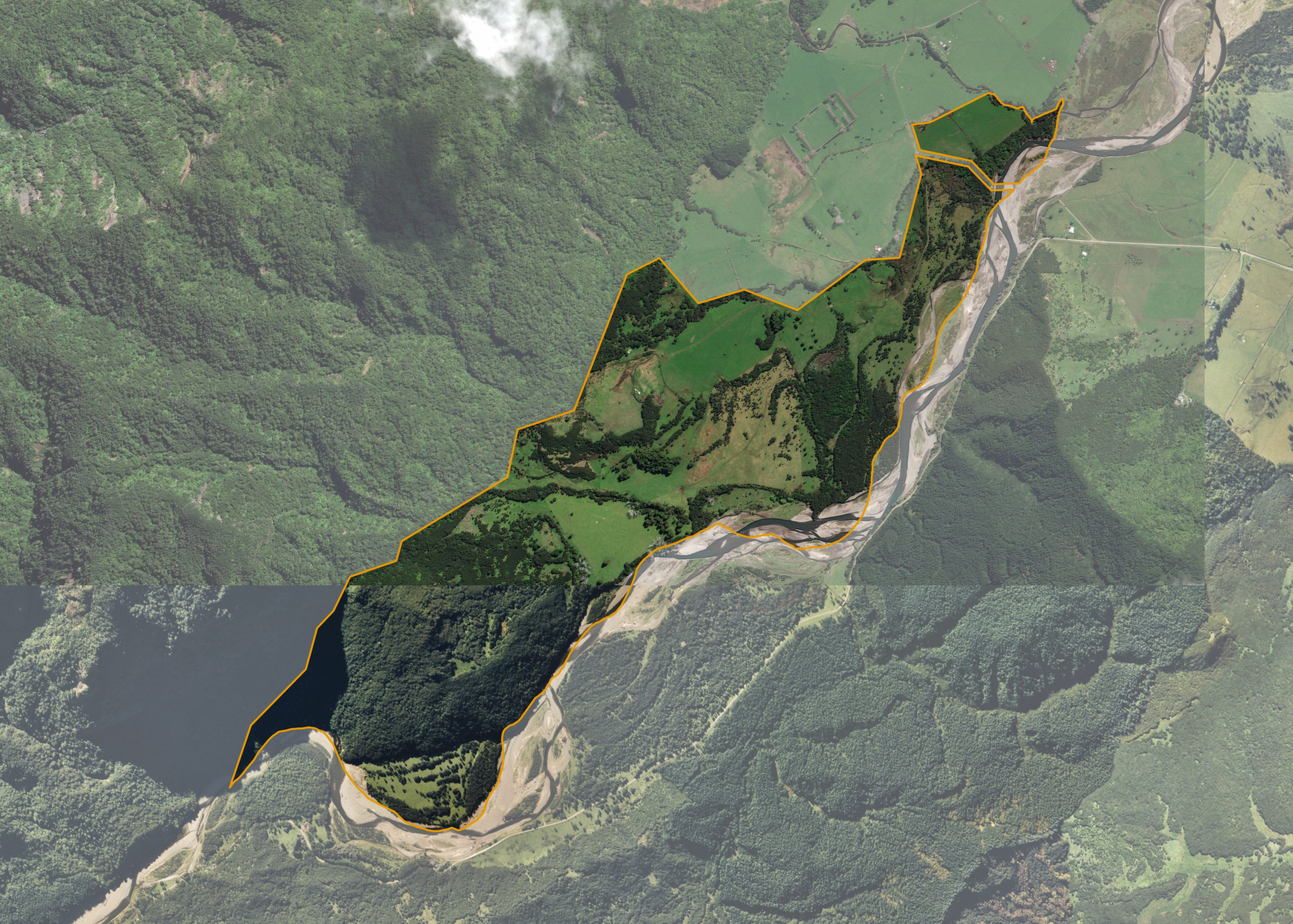
Papatarata A2 is a 185.75 hectare property situated at the end of Hovell Road, approximately six kilometres from Te Araroa. The effective grazing area of approximately 70 hectares is flat to easy medium contoured hill country. The balance of the land can be attributed to strongly rolling or steep hill.
The block can be accessed from Tokata Road and is currently utilised for sheep and beef grazing.
A small quarters, shed and haybarn are located on the property, these are not in the ownership of the trust.
Land Information
- Land area:
- 185.75 hectares
- Location:
- Karakatuwhero Valley Road, Tikitiki
- Region:
- Gisborne
- Māori Land Court region:
- Tairawhiti
- Role of Māori Trustee for this whenua:
- Responsible Trustee
Learn more about the role of the Māori Trustee.
Owner Information
There are 267 people or whānau trusts who have shares in Papatarata A2.
Find individual owners or whānau trusts for this whenua
Tip: Search by first name
If you have a question about this whenua or you want to update your details please contact us.
Find out about upcoming owner hui for this whenuaStay connected with My Whenua
My Whenua is our online service for owners, trustees, whānau and those with a connection to whenua we look after on their behalf.
It’s a way to stay up to date with information about your whenua, including:
- Maps and photos
- Owner reports
- A list of owners
- Minutes of owner hui, and more.