Tihiomanono A20B
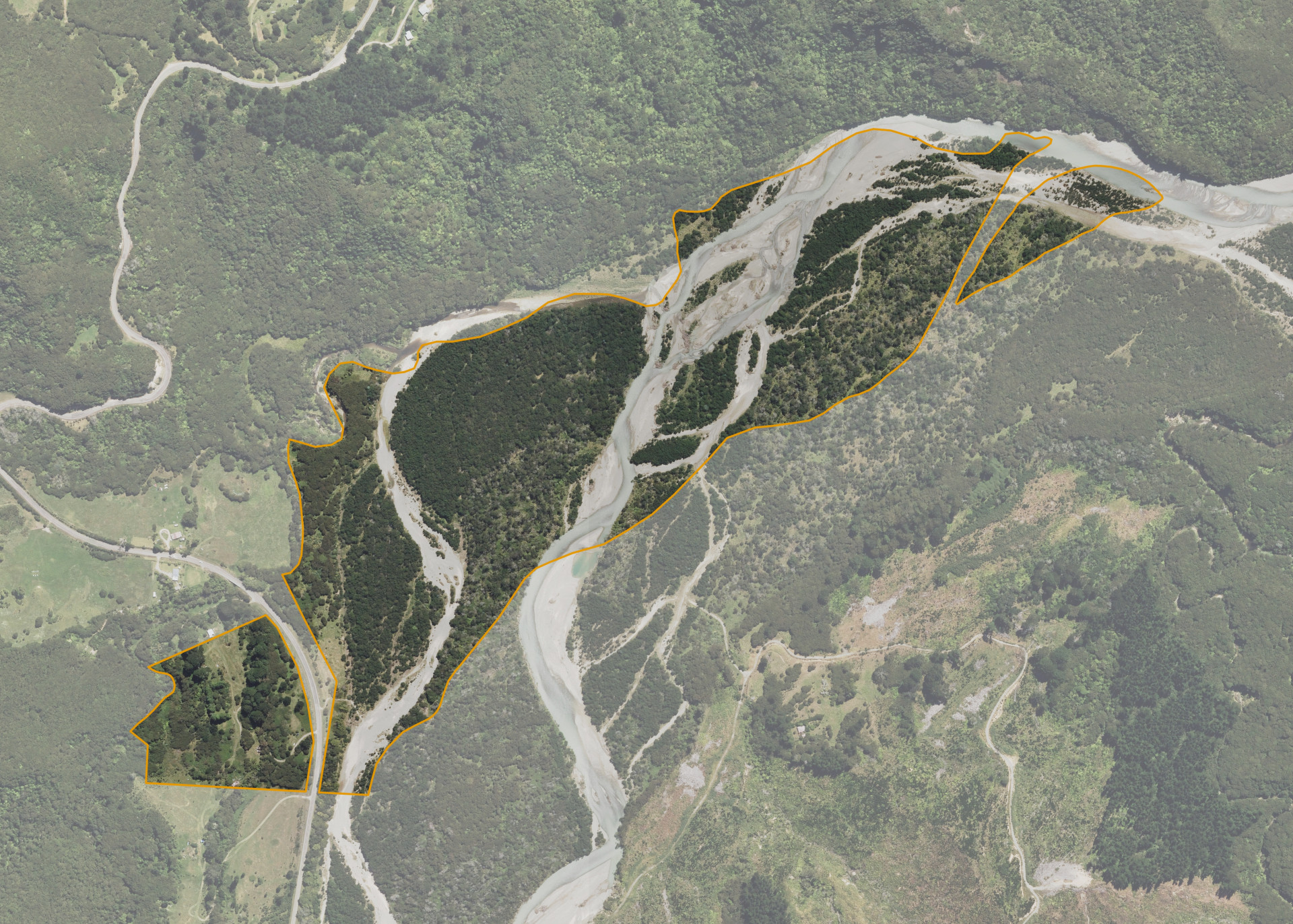
Tihiomanono A20B is a 50.5374 hectare property situated on both sides of State Highway 35, approximately 4 kilometres south of Te Araroa. The land is predominantly flat/river bed in contour and presents as two severances. The eastern severance is dissected by the Awatere River and consists of mainly river and river bed. The block can be accessed from State Highway 35.
The block is not currently leased.
There is an old dwelling on the property.
Land Information
- Land area:
- 50.5374 hectares
- Location:
- SH 35 South, Te Araroa
- Region:
- Gisborne
- Māori Land Court region:
- Tairawhiti
- Role of Māori Trustee for this whenua:
- Responsible Trustee
Learn more about the role of the Māori Trustee.
Owner Information
There are 123 people or whānau trusts who have shares in Tihiomanono A20B.
Find individual owners or whānau trusts for this whenua
Tip: Search by first name
If you have a question about this whenua or you want to update your details please contact us.
Find out about upcoming owner hui for this whenuaStay connected with My Whenua
My Whenua is our online service for owners, trustees, whānau and those with a connection to whenua we look after on their behalf.
It’s a way to stay up to date with information about your whenua, including:
- Maps and photos
- Owner reports
- A list of owners
- Minutes of owner hui, and more.