Himatangi 3A 3E
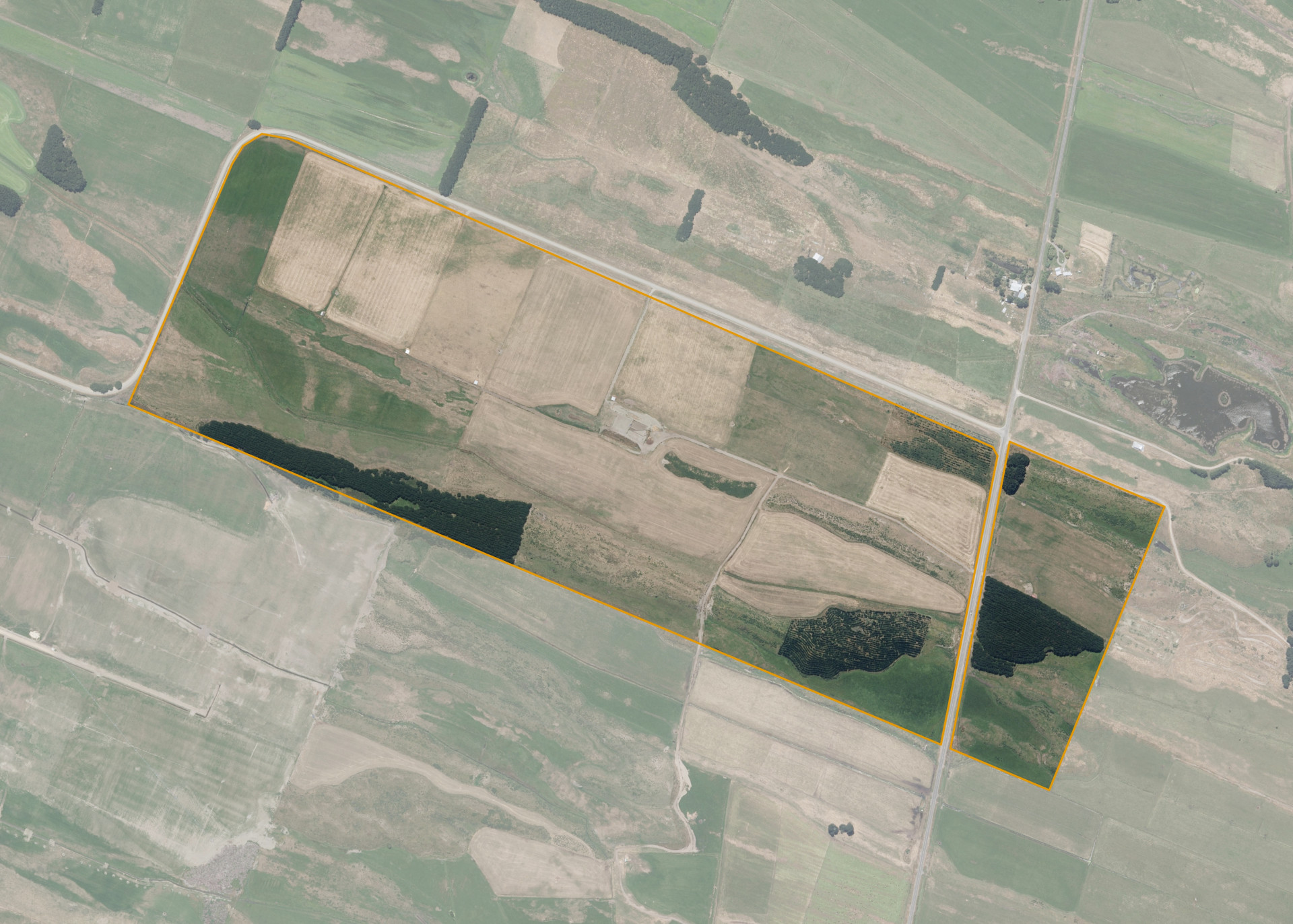
Himatangi 3A 3E is a 103.3539 hectare block situated on the corner of Wall and Himatangi Block Road, approximately 11 kilometres north-east of Foxton.
The block is mainly flat in contour with the dunes ranging from rolling to medium steep. There is no predominant aspect and the property is exposed to winds from most directions, the sand dunes do provide some shelter to the south. The eastern portion of the block is dissected by the road.
Soils on the block comprise Himatangi Foxton, Pukepuke Foxton, Pukepuke Omanuka and Waitarere Hokio, land classes LUC 4 and 7.
The effective area, approximately 90.71 hectares, is currently utilised for dairy support. The balance of the land can be attributed to the pines. The property is run in conjunction with adjoining land to the south.
There is a set of post and rail yards with pens, races, crush and ramp on the property. There are five calf shelters on the property.
Land Information
- Land area:
- 103.3539 hectares
- Location:
- Cnr Block and Wall Road, Himatangi
- Region:
- Manawatu / Whanganui
- Māori Land Court region:
- Aotea
- Role of Māori Trustee for this whenua:
- Responsible Trustee
Learn more about the role of the Māori Trustee.
Owner Information
There are 148 people or whānau trusts who have shares in Himatangi 3A 3E.
Find individual owners or whānau trusts for this whenua
Tip: Search by first name
If you have a question about this whenua or you want to update your details please contact us.
Find out about upcoming owner hui for this whenuaStay connected with My Whenua
My Whenua is our online service for owners, trustees, whānau and those with a connection to whenua we look after on their behalf.
It’s a way to stay up to date with information about your whenua, including:
- Maps and photos
- Owner reports
- A list of owners
- Minutes of owner hui, and more.