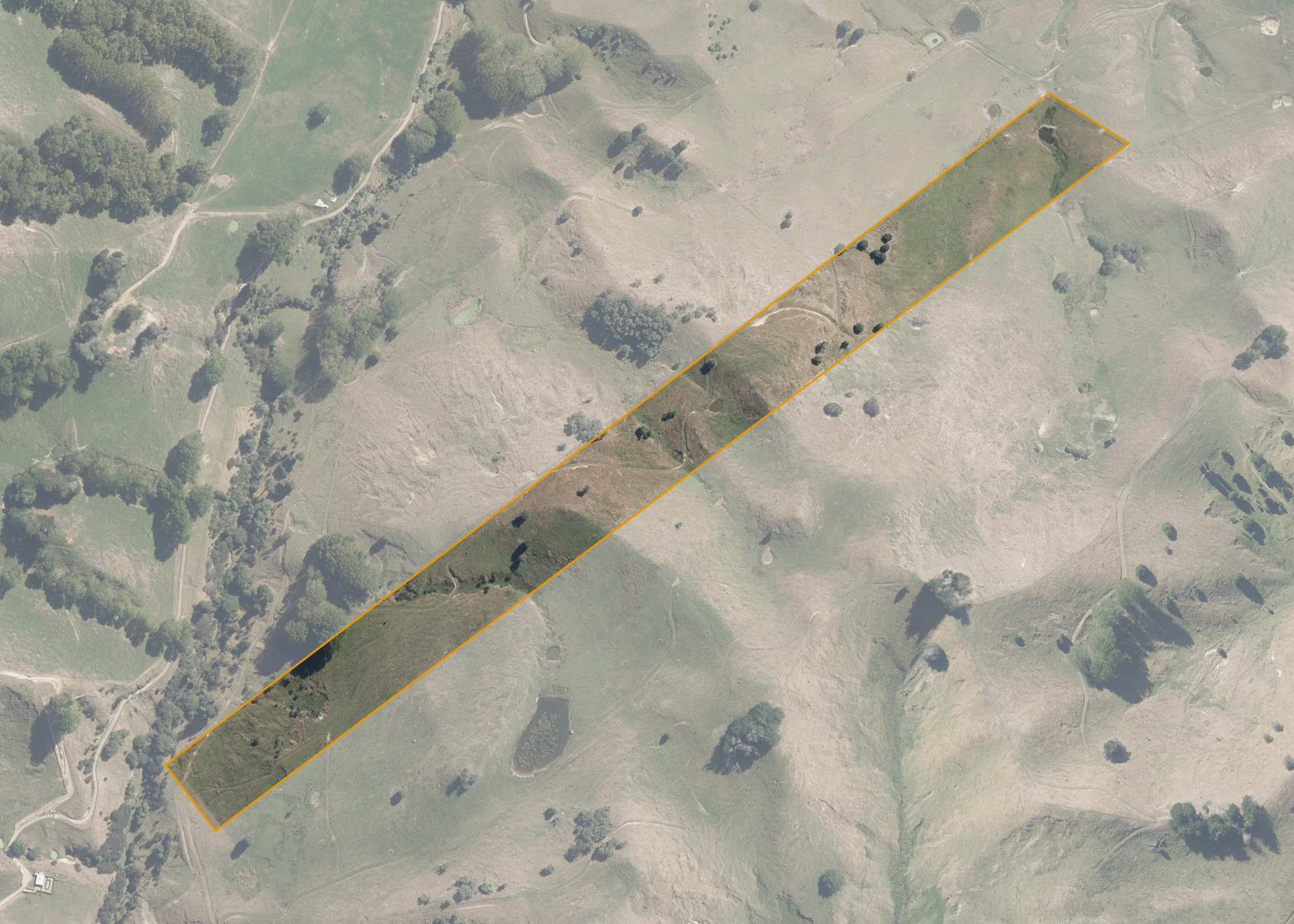
Awarua 4C 15F 1D
Awarua 4C 15F 1D is a 9.4443 hectare property situated at Winiata, approximately 3 kilometres south of Taihape. The land is easy to medium steep hill in contour. The block can be accessed via a right of way across Awarua 4C 15F 1A2E from State Highway 1.
The block is entirely effective and is currently utilised for sheep and beef grazing.
Land Information
- Land area:
- 9.4443 hectares
- Location:
- State Highway 1, Taihape
- Region:
- Manawatu / Whanganui
- Māori Land Court region:
- Aotea
- Role of Māori Trustee for this whenua:
- Responsible Trustee
Learn more about the role of the Māori Trustee.
Owner Information
There are 40 people or whānau trusts who have shares in Awarua 4C 15F 1D.
Find individual owners or whānau trusts for this whenua
Tip: Search by first name
If you have a question about this whenua or you want to update your details please contact us.
Find out about upcoming owner hui for this whenuaStay connected with My Whenua
My Whenua is our online service for owners, trustees, whānau and those with a connection to whenua we look after on their behalf.
It’s a way to stay up to date with information about your whenua, including:
- Maps and photos
- Owner reports
- A list of owners
- Minutes of owner hui, and more.