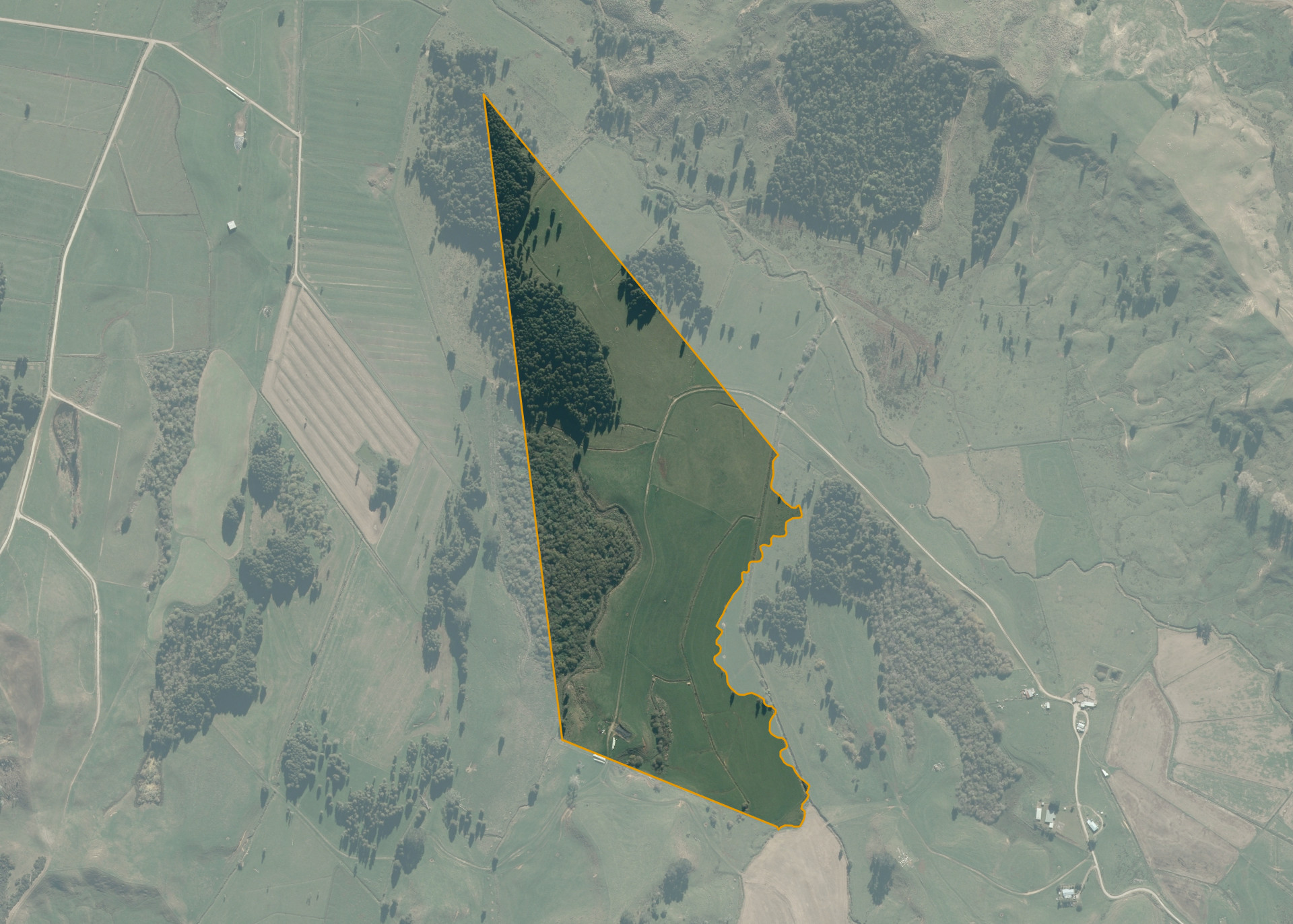
Pukenui B46
Pukenui B46 is a 29.2385 hectare property situated on State Highway 3, approximately 5 kilometres from Te Kuiti. The land is generally flat to undulating in contour with parts low lying and becoming wet in winter and spring months. The block has an open aspect. Soils on the property comprise of a mix of Kairanga Silt and Clay Loam and Mangatea Clay Loam. The block has no legal access but physical access is over two adjoining properties via a well formed all weather access track. .
The effective area, approximately 20.40 hectares, is currently utilised for dairy support and maize. The balance of the land can be attributed to swamp and bush.
Land Information
- Land area:
- 29.2385 hectares
- Location:
- State Highway 3, Te Kuiti
- Region:
- Waikato
- Māori Land Court region:
- Waikato Maniapoto
- Role of Māori Trustee for this whenua:
- Responsible Trustee
Learn more about the role of the Māori Trustee.
Owner Information
There are 29 people or whānau trusts who have shares in Pukenui B46.
Find individual owners or whānau trusts for this whenua
Tip: Search by first name
If you have a question about this whenua or you want to update your details please contact us.
Find out about upcoming owner hui for this whenuaStay connected with My Whenua
My Whenua is our online service for owners, trustees, whānau and those with a connection to whenua we look after on their behalf.
It’s a way to stay up to date with information about your whenua, including:
- Maps and photos
- Owner reports
- A list of owners
- Minutes of owner hui, and more.