Nukumaru 1B 2A 2A
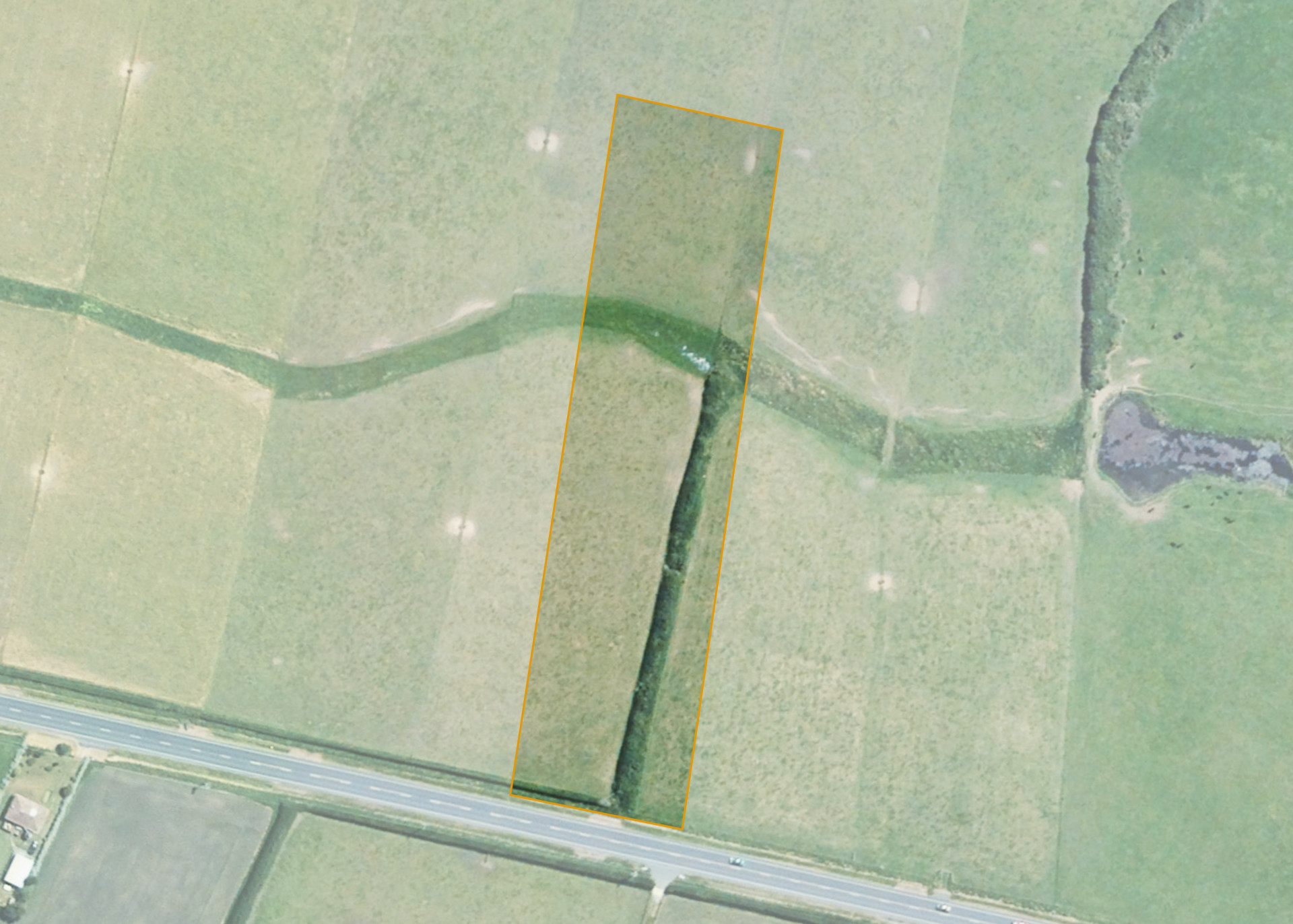
Nukumaru 1B 2A 2A is a 1.3623 hectare property situated on State Highway 3, Nukumaru, and is approximately 28 kilometres north-west of Whanganui. The land is flat to easy rolling in contour. The block has frontage to State Highway 3. The block is currently accessed via adjoining land.
The block is currently leased together with Nukumaru 1B 2A 2B. The properties form a 8.2223 hectare block, of which, 8.0 hectares is currently utilised for contract dairy heifer grazing. The balance of the land can be attributed to the fenced-off centre watercourse.
Land Information
- Land area:
- 1.3623 hectares
- Location:
- State Highway 3, Maxwell
- Region:
- Taranaki
- Māori Land Court region:
- Aotea
- Role of Māori Trustee for this whenua:
- Responsible Trustee
Learn more about the role of the Māori Trustee.
Owner Information
There are 11 people or whānau trusts who have shares in Nukumaru 1B 2A 2A.
Find individual owners or whānau trusts for this whenua
Tip: Search by first name
If you have a question about this whenua or you want to update your details please contact us.
Find out about upcoming owner hui for this whenuaStay connected with My Whenua
My Whenua is our online service for owners, trustees, whānau and those with a connection to whenua we look after on their behalf.
It’s a way to stay up to date with information about your whenua, including:
- Maps and photos
- Owner reports
- A list of owners
- Minutes of owner hui, and more.