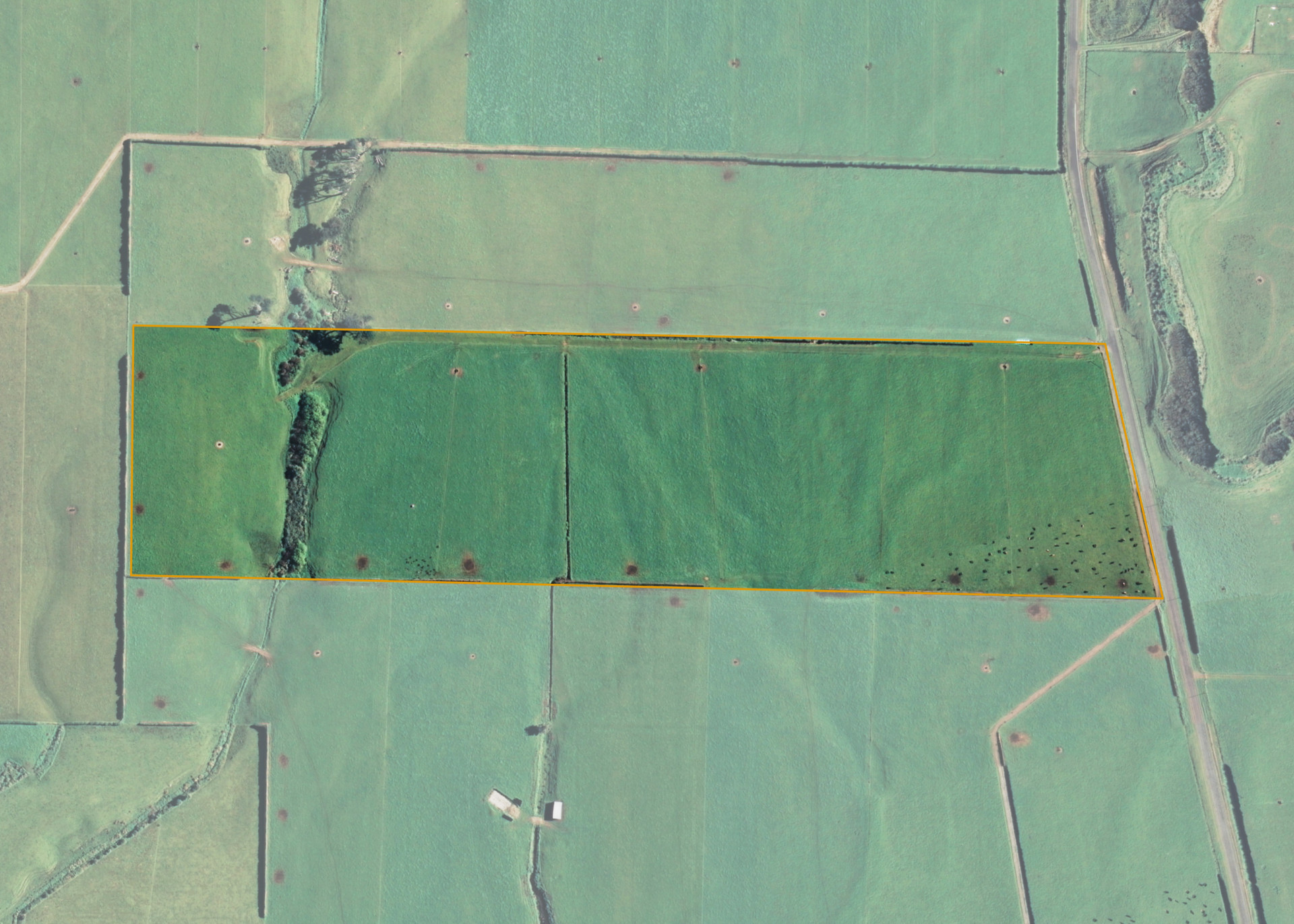
Omuturangi 1B
Omuturangi 1B is an 11.3312 hectare property situated on Taikatu Road, approximately 20 kilometres west of Hawera. The land is flat in contour and dissected by an open watercourse at its western end. The block has an open aspect. Soils on the property comprise of Egmont loam. The block can be accessed from Taikatu Road.
The effective area, approximately 11.00 hectares, is currently utilised for dairying in conjunction with the lessee's southern and northern neighbouring land. The balance of the land can be attributed to the watercourse.
Land Information
- Land area:
- 11.3311 hectares
- Location:
- Omuturangi Road, Manaia
- Region:
- Taranaki
- Māori Land Court region:
- Aotea
- Role of Māori Trustee for this whenua:
- Responsible Trustee
Learn more about the role of the Māori Trustee.
Owner Information
There are 93 people or whānau trusts who have shares in Omuturangi 1B.
Find individual owners or whānau trusts for this whenua
Tip: Search by first name
If you have a question about this whenua or you want to update your details please contact us.
Find out about upcoming owner hui for this whenuaStay connected with My Whenua
My Whenua is our online service for owners, trustees, whānau and those with a connection to whenua we look after on their behalf.
It’s a way to stay up to date with information about your whenua, including:
- Maps and photos
- Owner reports
- A list of owners
- Minutes of owner hui, and more.