Mahanga 1C1D
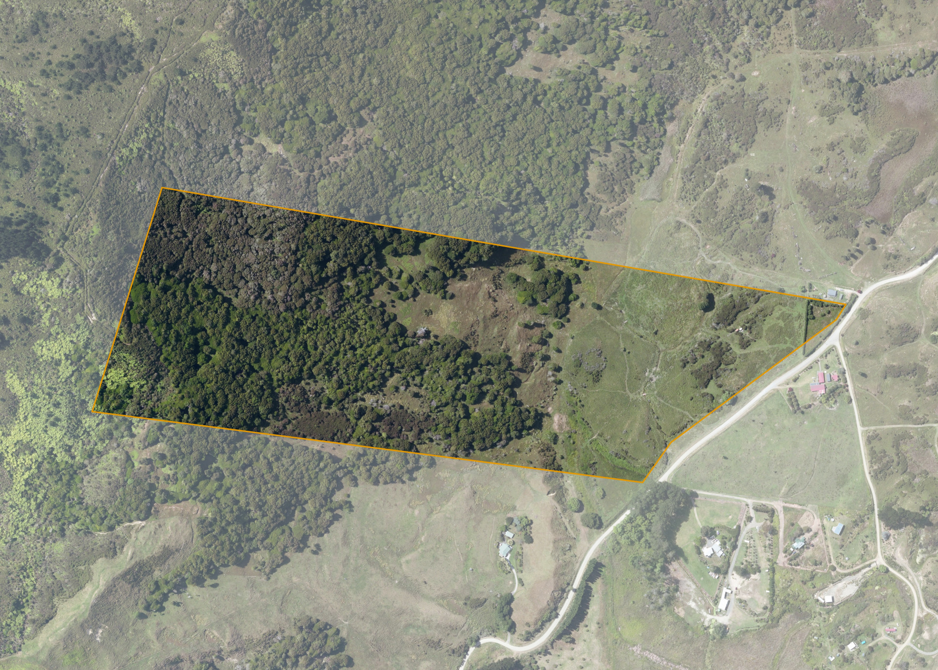
Mahanga 1C1D is a 25.2422 hectare property situated on Mahanga Road, near Nuhaka. The land ranges from flat, undulating country near Mahanga Road to steep contoured hill and has a south-easterly aspect.
The block has previously been used for cattle and sheep grazing and a large proportion of it is in native bush.
Land Information
- Land area:
- 25.2422 hectares
- Location:
- Mahanga Road, Nuhaka
- Region:
- Gisborne
- Māori Land Court region:
- Tairawhiti
- Role of Māori Trustee for this whenua:
- Responsible Trustee
Learn more about the role of the Māori Trustee.
Owner Information
There are 188 people or whānau trusts who have shares in Mahanga 1C1D.
Find individual owners or whānau trusts for this whenua
Tip: Search by first name
If you have a question about this whenua or you want to update your details please contact us.
Find out about upcoming owner hui for this whenuaStay connected with My Whenua
My Whenua is our online service for owners, trustees, whānau and those with a connection to whenua we look after on their behalf.
It’s a way to stay up to date with information about your whenua, including:
- Maps and photos
- Owner reports
- A list of owners
- Minutes of owner hui, and more.