Rangitaiki 32L2
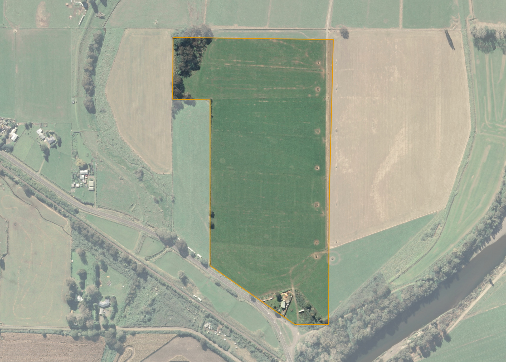
Rangitaiki 32L2 is a 16.1247 hectare property situated on White Pine Bush Road, approximately 12 kilometres from Whakatane. The land is flat to slightly undulating in contour and has an open aspect. The block can be accessed from White Pine Bush Road.
The effective area, approximately 15.00 hectares, is currently utilised for growing annual ryegrass or maize for silage. The balance of the land can be attributed to owner occupation and the swamp and willows.
Land Information
- Land area:
- 16.1247 hectares
- Location:
- White Pine Bush Road, Whakatane
- Region:
- Bay of Plenty
- Māori Land Court region:
- Waiariki
- Role of Māori Trustee for this whenua:
- Responsible Trustee
Learn more about the role of the Māori Trustee.
Owner Information
There are 96 people or whānau trusts who have shares in Rangitaiki 32L2.
Find individual owners or whānau trusts for this whenua
Tip: Search by first name
If you have a question about this whenua or you want to update your details please contact us.
Find out about upcoming owner hui for this whenuaStay connected with My Whenua
My Whenua is our online service for owners, trustees, whānau and those with a connection to whenua we look after on their behalf.
It’s a way to stay up to date with information about your whenua, including:
- Maps and photos
- Owner reports
- A list of owners
- Minutes of owner hui, and more.