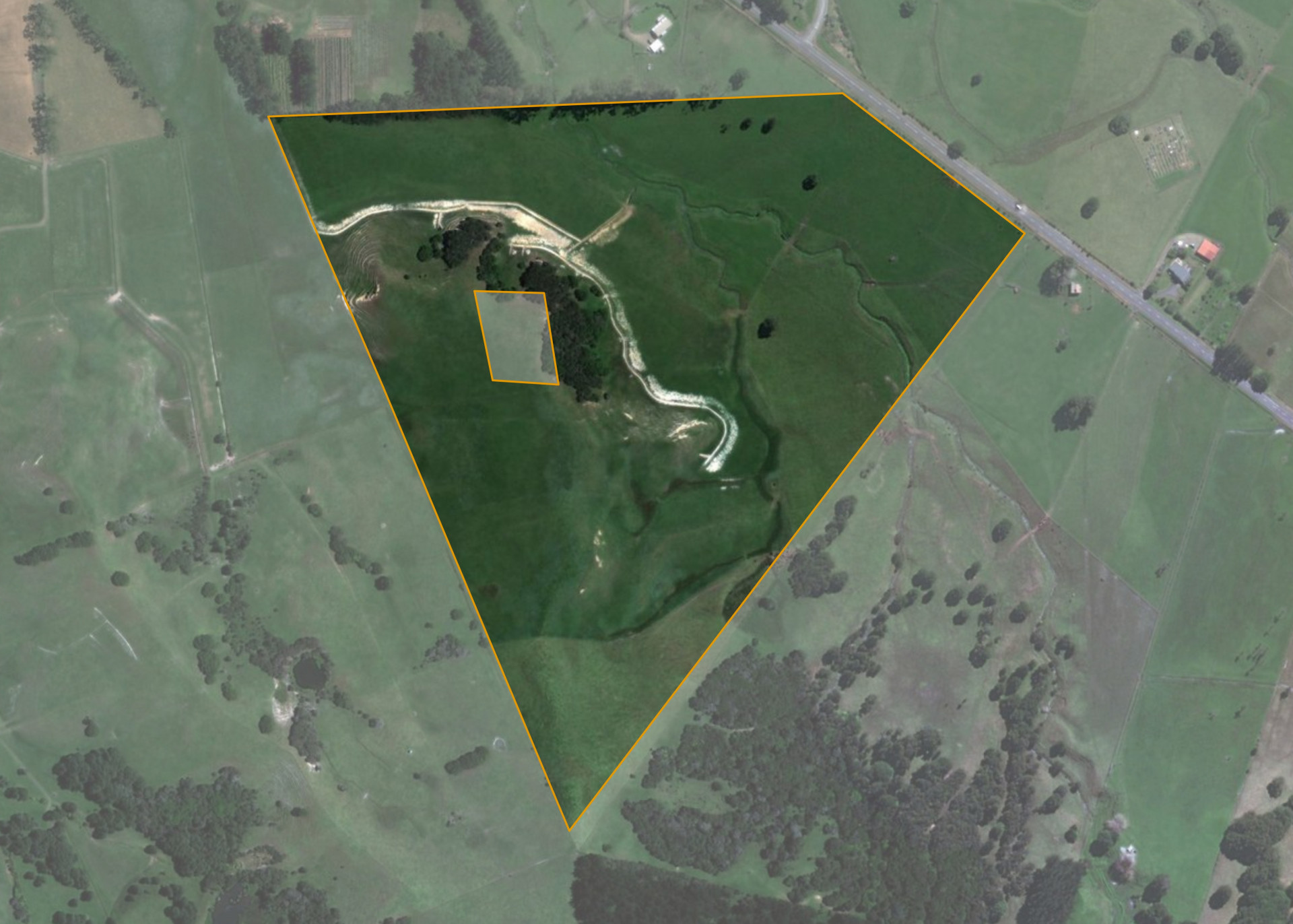
Mangataiore D4E
Mangataiore D4E is a 22.9840 hectare property situated on State Highway 1, Victoria Valley, and is approximately 14 kilometres from Kaitaia. The land is flat to easy hill in contour with sidlings. The block can be accessed from State Highway 1 at Victoria Valley.
The effective area, approximately 21.00 hectares, is currently utilised for beef fattening and is farmed in conjunction with the lessee's adjoining land. The balance of the land can be attributed to a small clump on Manuka/kanuka.
There is an urupa on the property.
Land Information
- Land area:
- 22.984 hectares
- Location:
- Victoria Valley Road, Kaitaia
- Region:
- Northland
- Māori Land Court region:
- Taitokerau
- Role of Māori Trustee for this whenua:
- Responsible Trustee
Learn more about the role of the Māori Trustee.
Owner Information
There are 16 people or whānau trusts who have shares in Mangataiore D4E.
Find individual owners or whānau trusts for this whenua
Tip: Search by first name
If you have a question about this whenua or you want to update your details please contact us.
Find out about upcoming owner hui for this whenuaStay connected with My Whenua
My Whenua is our online service for owners, trustees, whānau and those with a connection to whenua we look after on their behalf.
It’s a way to stay up to date with information about your whenua, including:
- Maps and photos
- Owner reports
- A list of owners
- Minutes of owner hui, and more.