Te Riri A Te Hore 3B
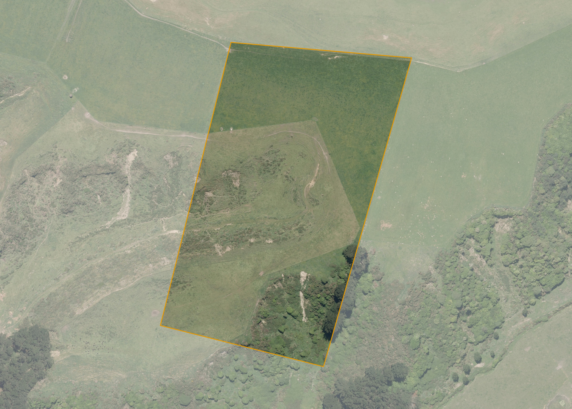
Te Riri A Te Hore 3B is a 5.1483 hectare property situated on Hewitts Road, approximately 5 kilometres south of Whanganui. The land contour is mixed with flats at the top, a gully and steep sidlings. The block is landlocked and can only be accessed via adjoining land.
The effective area, approximately 4.3783 hectares, is currently utilised for beef farming. The balance of the land can be attributed to scrub and fern.
Land Information
- Land area:
- 5.1483 hectares
- Location:
- 61 Hewitts Road, Marybank
- Region:
- Manawatu / Whanganui
- Māori Land Court region:
- Aotea
- Role of Māori Trustee for this whenua:
- Responsible Trustee
Learn more about the role of the Māori Trustee.
Owner Information
There are 72 people or whānau trusts who have shares in Te Riri A Te Hore 3B.
Find individual owners or whānau trusts for this whenua
Tip: Search by first name
If you have a question about this whenua or you want to update your details please contact us.
Find out about upcoming owner hui for this whenuaStay connected with My Whenua
My Whenua is our online service for owners, trustees, whānau and those with a connection to whenua we look after on their behalf.
It’s a way to stay up to date with information about your whenua, including:
- Maps and photos
- Owner reports
- A list of owners
- Minutes of owner hui, and more.