Te Akau A6B
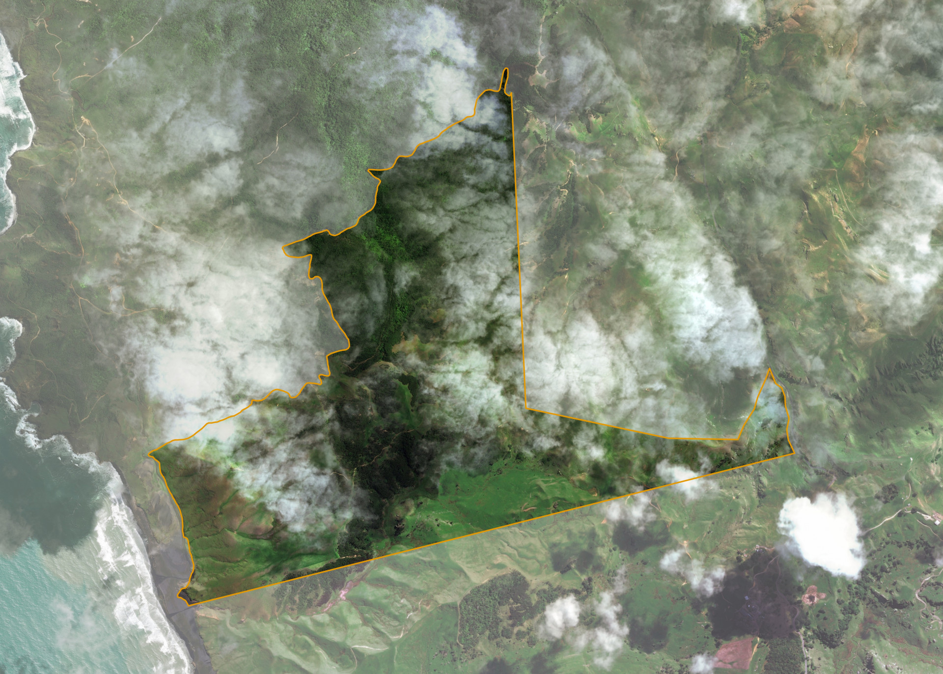
Te Akau A6B is a 274.1 hectare coastal property situated on Port Waikato-Waikaretu Road, some 6.5km from Port Waikato and access is gained Port Waikato-Waikaretu Road.
The block is predominately rolling to steep contour.
Te Akau A6B is utilised for grazing purposes.
Land Information
- Land area:
- 269.43 hectares
- Location:
- Port Waikato-Waikaretu Road, Port Waikato
- Region:
- Waikato
- Māori Land Court region:
- Waikato Maniapoto
- Role of Māori Trustee for this whenua:
- Agent
Learn more about the role of the Māori Trustee.
Owner Information
There are 60 people or whānau trusts who have shares in Te Akau A6B.
Find individual owners or whānau trusts for this whenua
Tip: Search by first name
If you have a question about this whenua or you want to update your details please contact us.
Find out about upcoming owner hui for this whenuaStay connected with My Whenua
My Whenua is our online service for owners, trustees, whānau and those with a connection to whenua we look after on their behalf.
It’s a way to stay up to date with information about your whenua, including:
- Maps and photos
- Owner reports
- A list of owners
- Minutes of owner hui, and more.