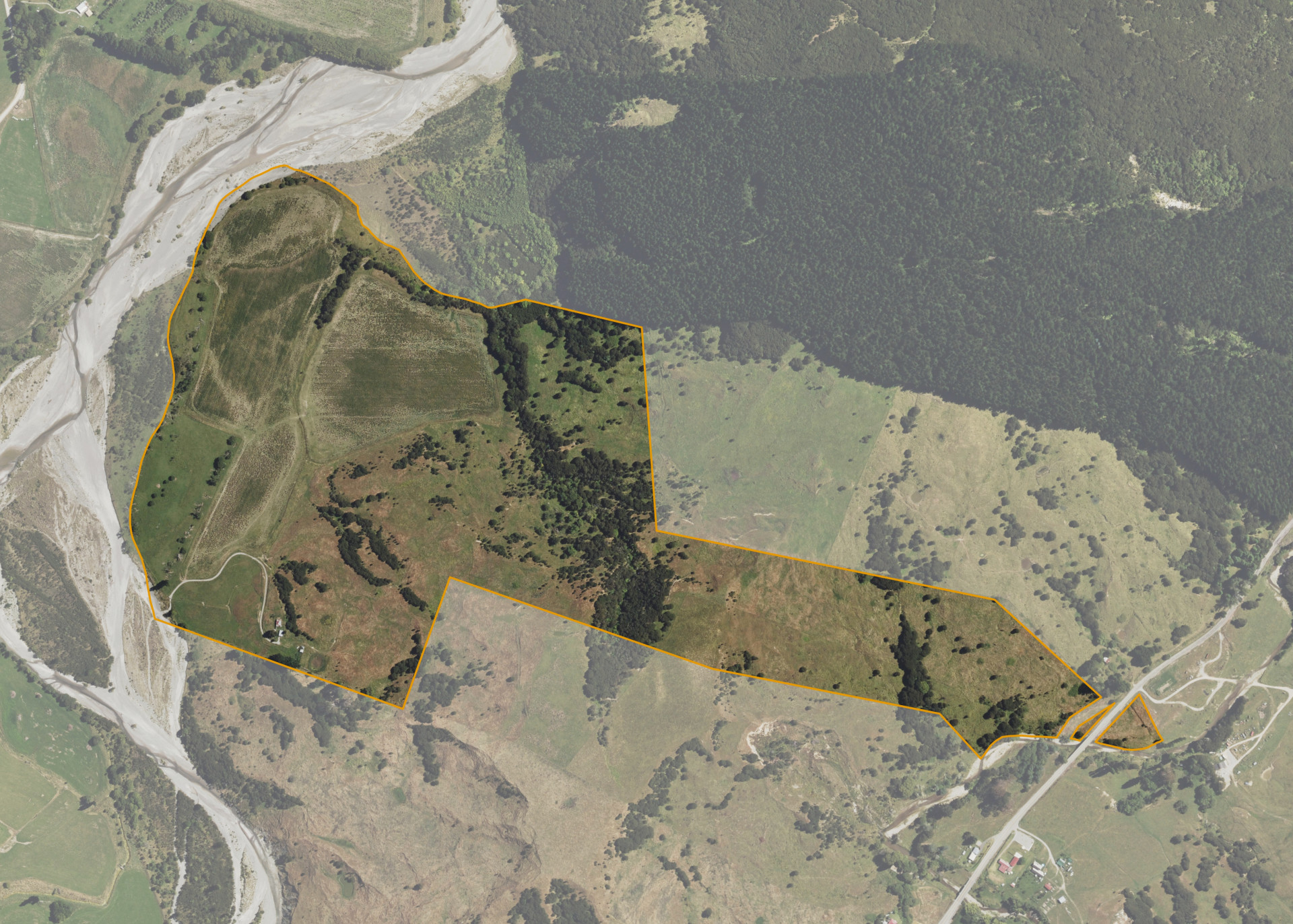
Ahiateatua A8B
Ahiateatua A8B is a 68.3197 hectare property situated on both sides Waiapu Road, State Highway 35, and is approximately 11 kilometres from Ruatoria. The land ranges from flat to steep hill in contour and bounds the Makarika Stream on its western boundary. The block can be accessed from Kawera Road via the Makarika Stream.
The block currently utilised for dry-stock pastoral farming and cropping.
There is an old cottage, garage and a set of cattle yards on the property. The cottage is excluded from the lease.
Land Information
- Land area:
- 68.3197 hectares
- Location:
- SH 35 South, Ruatoria
- Region:
- Gisborne
- Māori Land Court region:
- Tairawhiti
- Role of Māori Trustee for this whenua:
- Responsible Trustee
Learn more about the role of the Māori Trustee.
Owner Information
There are 102 people or whānau trusts who have shares in Ahiateatua A8B.
Find individual owners or whānau trusts for this whenua
Tip: Search by first name
If you have a question about this whenua or you want to update your details please contact us.
Find out about upcoming owner hui for this whenuaStay connected with My Whenua
My Whenua is our online service for owners, trustees, whānau and those with a connection to whenua we look after on their behalf.
It’s a way to stay up to date with information about your whenua, including:
- Maps and photos
- Owner reports
- A list of owners
- Minutes of owner hui, and more.